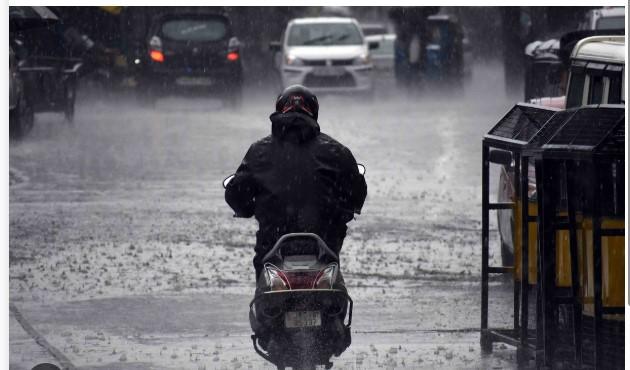
Jammu and Kashmir is likely to witness a spell of widespread rain and snowfall from the night of March 9 as a moderate to strong Western Disturbance is expected to affect the region.
The system is likely to remain active till March 12 and may bring heavy to very heavy precipitation to several parts of the Union Territory.
Higher reaches including the Sonamarg–Zojila axis, Sinthan Top–Peer Ki Gali, Razdan Top–Sadhna Top and Gurez Valley are expected to receive heavy snowfall during the period.
Weather observer Aaadil Maqbool said very heavy snow accumulation is possible over the extreme higher reaches.
Meanwhile, the plains of Kashmir are likely to receive moderate to heavy rainfall accompanied by gusty winds and thunderstorms, with north Kashmir expected to witness relatively higher activity.
“The peak of the weather activity is expected during the evening hours of March 10 and March 12,” he said.(News agency)